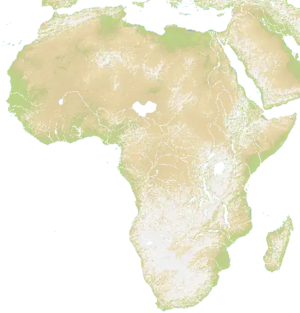
Map of the African continent with parts of the Italian peninsula, Middle East, and Mediterranean. Terrain is very hilly and mountainous, making spread slow. Africa also has long rivers allowing for trade ships farther inland via a port.
Technical
The size of the map is 1950 x 2032.[1]
Countries
North Africa
- Morroco
- Algeria
- Tunisia
- Lybia
- Eygpt
- Mali
- Marituania
- Niger
- Chad
- Sudan
West Costal
- Senegal
- The Gambia
- Guinea-Bissau
- Guniea
- Sierra Leone
- Liberia
- Cote D'Ivore (Ivory Coast)
- Ghana
- Togo
- Benin
- Nigeria
- Cameroon
Central
- Central African Republic
- South Sudan
- Uganda
- Rwanda
- Burundi
- Demogratic Republic of the Congo
- Repulic of the Congo
- Gabon
- Equatornial Guinea
East Africa
- Tanzania
- Uganda
- Keyna
- Somialia
- Ethopia
- Dijboti
- Ertirea
South Africa
- Angola
- Botswana
- Estwatini (Swaziland)
- Leshoto
- Madagascar
- Malawi
- Mozambique
- Nabimbia
- South Africa
- Zambia
- Zimbabwae
Abrabian Part
- Saudi Abrabia
- Yemen
- Qutar
- Barhian
Upper ME
- Syria
- Iraq
- Turkey
- Greece
- Amenia
- Azerjjan
Europe
- Spain
- Portugal
- Italy
- Greece